X2 Visual System
Bringing Pilot Training Ever Closer to Reality
Simthetiq provides a Level D compatible image generation system, with a comprehensive library of virtual airport databases offering an unparalleled visual quality. Deployed on flight training devices worldwide, the outstanding realism, cutting edge technology and high performance components offer a compelling package for commercial flight simulation and training.
Key Benefits
-
Level D Compliant
Deployed on Full Flight Simulation devices to Level-D and equivalent, with full FAA Part 60 compliant currency solutions.
-
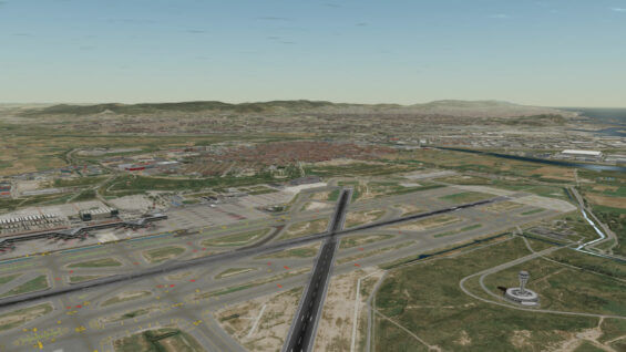
Comprehensive Library of Airport Models
High Definition Airport models for certification and enhanced trainee immersion
-
Whole Earth Terrain
Automated display of worldwide airports and airfields to support training for any air carrier
-
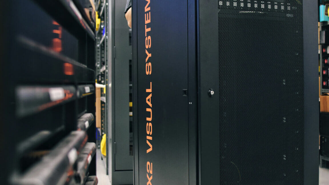
Cots Hardware
Built with the latest generation of COTS computing hardware, fully stress tested for extended operation.
-
Installed & Qualified
Deployed on more than 75 Flight Simulation Training Devices worldwide, including Full Flight training devices
Key Features
High Performance Image Generator
High Performance Image Generator
- 5 000 000+ visible polygons at 60Hz
- 1 000 000+ light points at 60Hz
- Up to 32x anti-aliasing for superior image quality
- 4K compatible with screen resolution of up to 4096×2160
- Pixel level distortion correction through intuitive GUI
Comprehensive Environmental Simulation
Comprehensive Environmental Simulation
- Dynamic 3D ocean models, cloud layers, moving traffic and more
- Variable levels of rain, snow, hail with droplet, puddles and reflections
- Multiple storm fronts, fog, lightning effects, winter scenes, volcanic ash clouds
- 15 meter imagery-based world database with high precision terrain
- Automatic integration of 10,000+ enhanced generic airfields
Airport Library
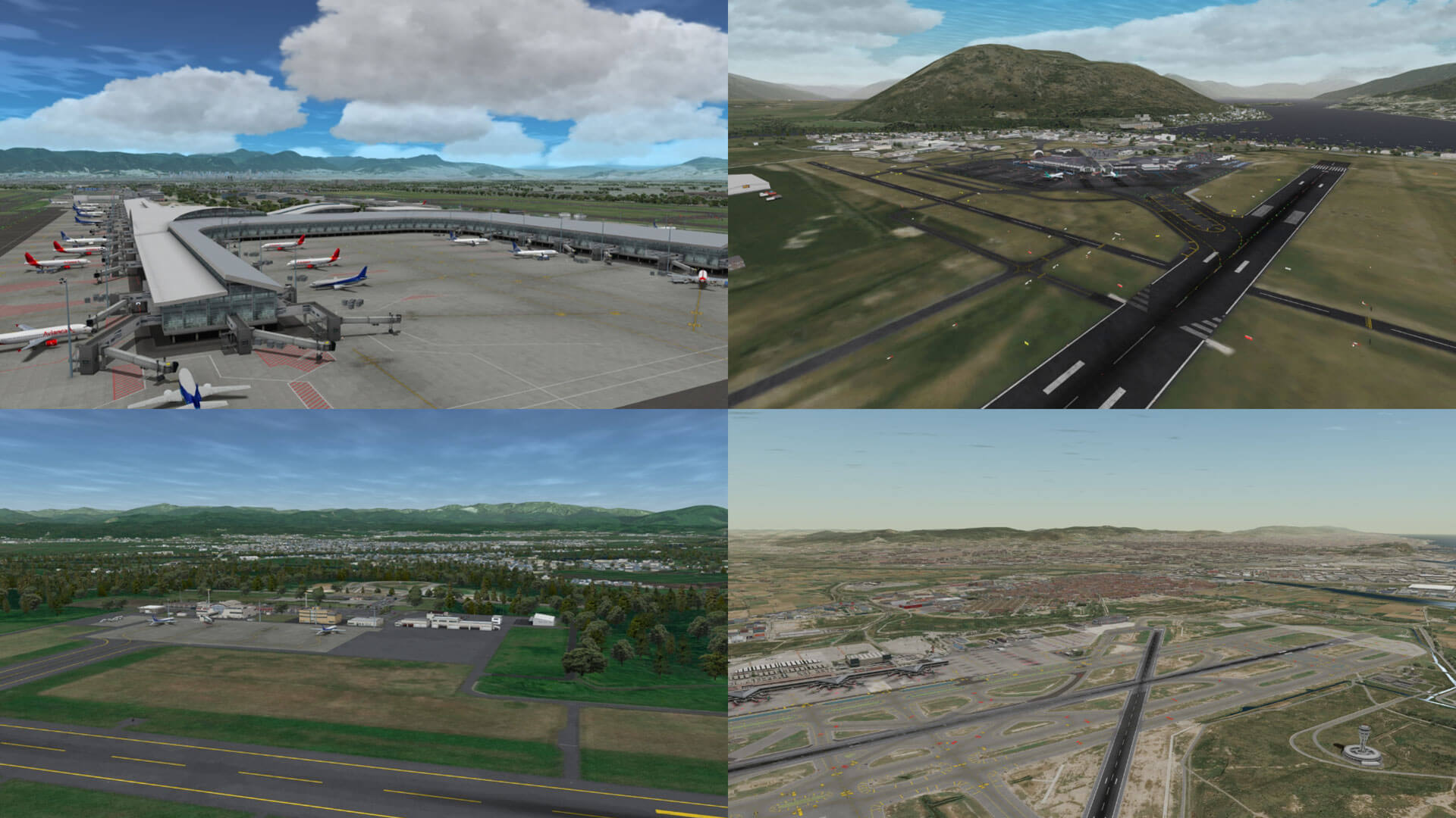
Airport Library
- Large catalog of FAA and EASA certified airport models
- High level of immersion with extensive ground clutter, moving traffic, 3D enhanced textures, lighting, shadows, reflection and more
- Intuitive GUI tool enables user to customize ground clutter (from extensive library of 3D models and aircrafts), pushback scenarios, etc.
Trusted by the world's best
Learn More About the X2 Visual System
Experience our Level-D capable image generation solution: to find out more, or to schedule a demonstration, contact us.
Contact Us